

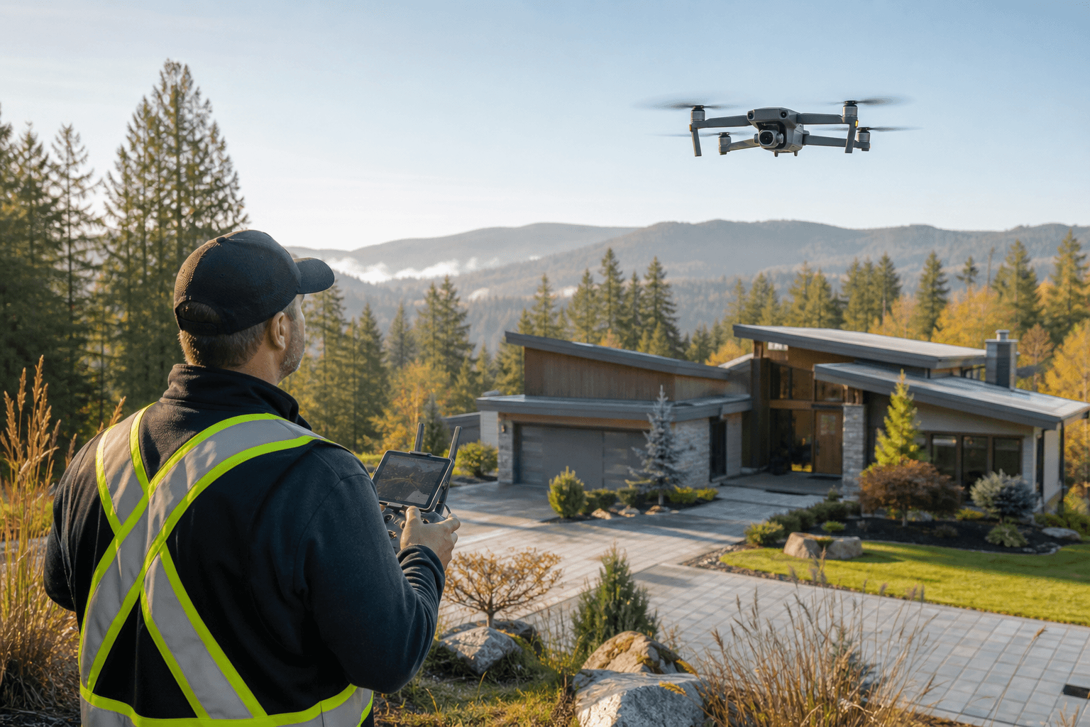
Drone photography is worth adding to a Maple Ridge listing when the property’s setting, lot, access, views, or outdoor features are difficult to understand from ground-level photos alone. It is not an automatic upgrade for every property. The right choice depends on the buyer question your listing needs to answer.
Aerial media can clarify the scale of an acreage, the relationship between a home and nearby green space, or the approach to a long driveway. A compact property with little surrounding context may benefit more from strong interior photography, a property video tour, or a 2D floorplan.
Quick summary

- Choose aerial photos when location, lot size, access, views, or outdoor amenities influence the property’s value.
- Use drone video when movement and storytelling matter, especially for social content or a distinctive setting.
- Pair aerials with ground photography, video tours, and floorplans rather than treating them as substitutes.
- Prepare the exterior, remove unnecessary vehicles and people, identify priority features, and share the launch date before booking.
- Confirm airspace, people-distance, visual-line-of-sight, and airport requirements with the drone operator before the shoot.
Choose the right listing media for the buyer question
Each format answers a different question. A coordinated package is useful when buyers need both emotional appeal and practical information, but adding every deliverable is not always necessary.
| Format | Best for answering | Limitation |
|---|---|---|
| Aerial still photos | Where is the property, how large is the lot, and what surrounds it? | They show context in one frame but not interior flow or movement. |
| Drone video | How does the approach, setting, or outdoor space feel in motion? | It needs a clear purpose and suitable publishing format. |
| Ground photography | What are the rooms, finishes, light, architecture, and condition? | It may not show lot boundaries, roof form, access, or neighbourhood context. |
| Property video tours | How do the spaces connect, and what is the viewing experience? | They should support, not replace, accurate stills or a floorplan. |
| 2D floorplans | How are the rooms arranged, and does the layout suit the buyer? | They do not show views, landscaping, or neighbourhood position. |
For a property where surrounding land is part of the proposition, aerial stills may provide the clearest value. For a view property, luxury build, or listing promoted heavily through social channels, drone video may add useful narrative.
When drone photography is worth adding

Consider drone coverage when one or more of these signals applies:
- Acreage or rural setting: Show fields, outbuildings, fencing, access roads, and the relationship between structures.
- Large or unusual lot: A wide property may be difficult to communicate through front and backyard photos alone.
- Distinctive views: Mountains, forest, water, farmland, or open space may be central to the property’s appeal.
- Long or complicated access: An aerial perspective can clarify a winding driveway, private approach, or separate entrance.
- New construction: Context can show the building’s position, surrounding streets, and outdoor design.
- Outdoor amenities: Pools, patios, gardens, sports areas, detached buildings, and landscaped grounds may be more legible from above.
These are decision signals, not universal rules. A townhouse or small urban property may benefit from one carefully selected exterior aerial, but may not require an extensive drone package. The question is whether the aerial view adds information another format cannot provide efficiently.
Six aerial perspectives that answer real buyer questions
A planned shot list is more useful than random flyovers. Before booking, review this drone real estate photography resource for further planning and safety context.
- Approach: What does the property look like on arrival? Show the driveway, street relationship, entrance direction, or rural approach.
- Front elevation: How does the home sit on the lot? A pulled-back angle can provide a clear exterior hero image with context.
- Lot context: How are the home, yard, outbuildings, and boundaries arranged? This is particularly useful for acreage and larger lots.
- Backyard: What outdoor space is available? Connect a deck, patio, garden, pool, or private area to the building.
- Roof: What is the roof form and how does it relate to the architecture? Use this view where it provides genuine listing context.
- Neighbourhood orientation: What surrounds the property? Show meaningful natural features, open space, roads, or water while respecting privacy.
Every perspective should earn its place by answering a buyer question. An attractive shot that explains neither scale, access, setting, nor a meaningful feature may add little.
Aerial stills or drone video: which should you choose?
Choose aerial stills when the listing needs a strong exterior image, lot overview, or neighbourhood orientation for an MLS presentation, brochure, or print material. Stills are efficient when buyers need to understand a fixed relationship.
Choose drone video when movement toward, around, or away from the property adds meaning. A reveal of a mountain backdrop, long approach, or extensive outdoor space can support a property video tour. Vertical video may suit a clear social-first publishing plan.
Choose both when the property has a strong setting and the campaign needs multiple formats. Aerial stills can support the listing gallery while motion footage contributes to a longer tour or short-form edit. Brief the operator on where each deliverable will be used.
The same decision applies to teams reviewing Surrey real estate listings, valuations, and agents: does the visual need involve the home itself, or its relationship to everything around it?
Plan a compliant flight before scheduling
Drone photography is subject to operating requirements, so a flight is not automatically permitted because an owner or listing agent has approved it. Transport Canada’s basic-operation conditions include visual line of sight, flying more than 30 metres horizontally from any person, operating in uncontrolled airspace, and staying more than 5.6 kilometres from the centre of a certified airport. Review the Transport Canada requirements for basic operations before planning.
Airport, heliport, and other aerodrome considerations can affect a Maple Ridge flight. The operator should confirm the applicable airspace, operation category, and permissions rather than relying on assumptions. Transport Canada’s guidance on where drones may fly is a useful starting point.
Account for Maple Ridge weather, light, and surroundings
Maple Ridge properties range from townhomes and family homes to new construction and acreage. Trees, open land, fog, wind, and changing light can affect whether an aerial frame is crisp and informative.
The studio’s Maple Ridge guidance identifies a preference for pre-11 a.m. winter slots in some conditions, because morning fog and afternoon gusts can affect visibility and hover shots. This is a stated scheduling approach, not a universal rule. Your operator may recommend a different window based on the site, season, airspace, light direction, and forecast.
Build flexibility into the plan where possible. Share the deadline, but identify which views are essential if conditions change. A strong brief distinguishes must-have context from optional creative footage.
Prepare the property and write a useful shoot brief
- Complete exterior cleanup, landscaping, and visible maintenance.
- Move unnecessary vehicles, bins, trailers, and temporary equipment where practical.
- Make decks, patios, pools, gardens, outbuildings, and access routes presentable.
- Tell the operator about neighbours, tenants, events, people, animals, or privacy concerns.
- Identify the features that matter most, such as a view, workshop, water access, or long driveway.
- Provide the address, property type, approximate size, deliverables, and launch date.
Use this briefing template:
Address:
Listing type:
Key exterior feature:
Deliverables: aerial stills, drone video, vertical clips, or a combination
Launch date:
Access, privacy, or airspace concerns:
Optional views:
Coordinate drone coverage with the full listing package
Ground photography shows materials, rooms, and detail. A property video tour explains movement through the home. A 2D floorplan clarifies layout. Drone media adds setting, scale, access, and exterior relationships.
Silver Valley Studios states that photos, video, drone, and measurements can be completed in one booking, with deliverables prepared for MLS, social media, and print. Coordinating formats can reduce repeated preparation and maintain a consistent visual treatment. It does not mean every listing needs every service. A compact property may need ground photos and a floorplan, while an acreage may justify interiors, aerials, video, and measurements.
A final booking checklist for Maple Ridge listings
- Does the property’s setting influence its appeal?
- Would aerials clarify lot size, access, boundaries, or outdoor amenities?
- Are there distinctive views, buildings, gardens, or patios that ground photos cannot show clearly?
- Would stills answer the need, or would motion support the story?
- Has the operator received the address, priority views, timing, and privacy concerns?
- Has the operator confirmed relevant airspace and operating requirements?
- Can interiors, exteriors, drone, and measurements be coordinated in one visit?
Frequently asked questions
Does every Maple Ridge listing need drone photography?
No. It is most useful when setting, scale, access, views, or outdoor features materially affect buyer understanding.
Are aerial still photos or drone video better?
Neither is always better. Stills efficiently show context, while video helps when movement supports the approach, view, landscape, or outdoor area.
What features are most useful to show?
Large lots, acreage, long driveways, distinctive views, outdoor amenities, outbuildings, water or forest proximity, and unusual layouts are strong candidates.
Who checks whether a flight is allowed?
The drone operator should assess operating rules, airspace, people-distance requirements, and airport or aerodrome considerations. The owner or agent should provide accurate property information.
How should weather affect timing?
Fog, wind, cloud, tree cover, and changing light can affect visibility and quality. Discuss a preferred window while allowing flexibility when conditions are unsuitable.
Can drone coverage be combined with floorplans and interior photos?
It can be, if the schedule, preparation, weather, and flight requirements allow. Silver Valley Studios describes a one-booking workflow that can combine photos, video, drone, and measurements.
Conclusion: choose aerials when they clarify the property
The strongest reason to add drone photography is not that aerial images look impressive. It is that they help buyers understand something important that ground-level media cannot communicate as quickly: scale, setting, access, views, or outdoor layout.
Start with the buyer question, choose stills or video based on intended use, and plan around compliance, weather, privacy, and the property’s meaningful features. When the listing needs a broader story, coordinate aerials with ground photography, property video tours, and 2D floorplans.
For a Maple Ridge listing, share the address, property details, priority features, launch date, and preferred deliverables with Silver Valley Studios Inc. to plan a suitable real estate media booking.